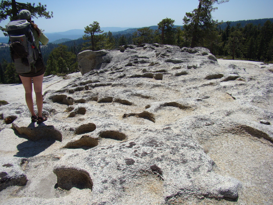
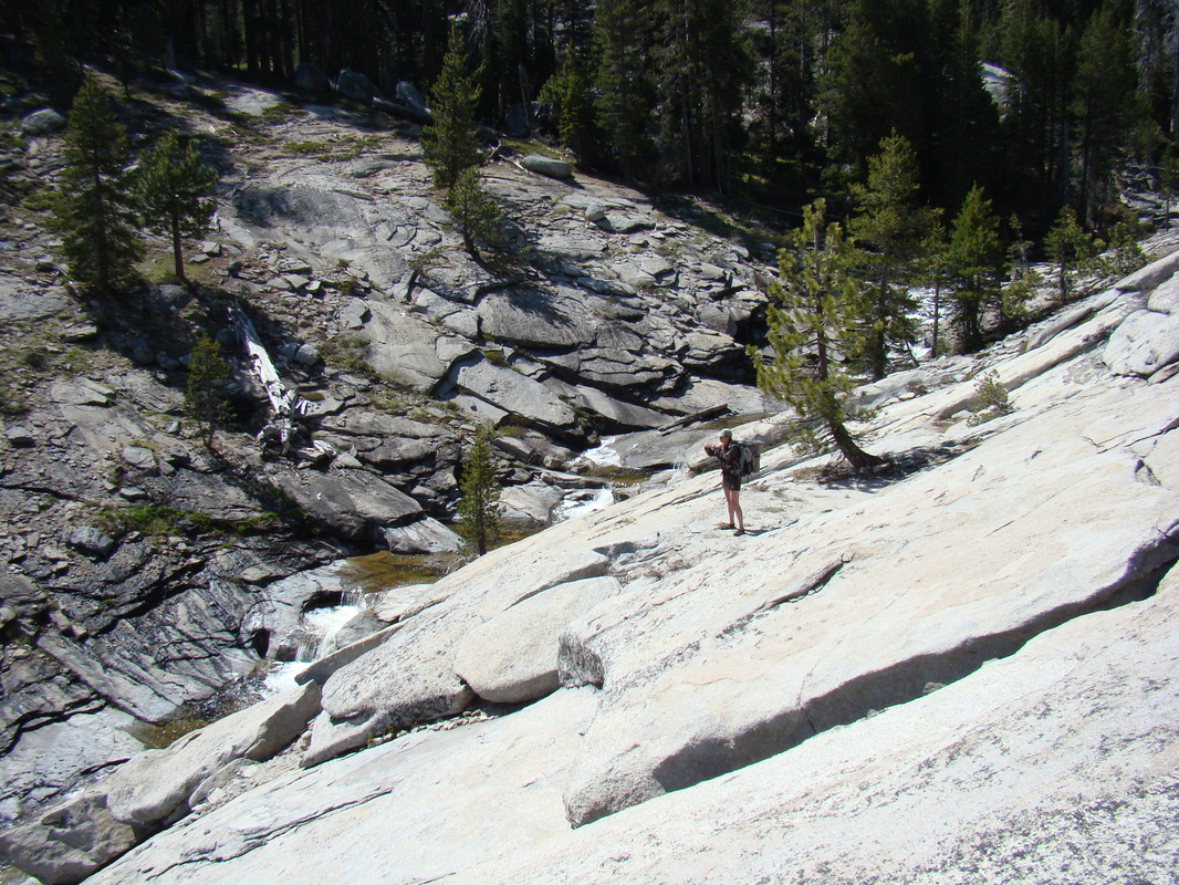
 Nancy looks west on a wild rock formation | Route: Entered in at Tioga Road and the South Fork of the Tuolumne River, Exited at TH#8 - "Big Oak Flat Road" Duration: 4 days Date: 3 weeks after Tioga Road opening Plenty of water, no mosquitoes Author: Jason Lucero Our first trip of the season was an off-trail exploration in an section of Yosemite National Park that we've been curious about—a trailless area north of Fireplace Bluffs. During the early part of Yosemite's temperate backpacking season, we tend to stick to lower-elevation trips. We knew that water would be in short supply in this area pretty soon, so the timing seemed right for this trip. |
 |  |  |
We were determined to hitchhike on this trip. When I lived in Yosemite, I could easily get a ride to a backpacking trailhead, and I gave rides to hitchhikers every chance I got. Most visitors can't coordinate rides and instead choose to hitchhike. We had read a bit online about hitchhiking in Yosemite, and we wanted to find out for ourselves whether it was a viable option for getting to trailheads in the park.
We stationed ourselves at Camp 4 and waited 20 minutes to get a ride to Crane Flat. Several people offered rides, but they were going in the wrong direction. Once at Crane Flat, we got a ride in less than 5 minutes to the spot where the south fork of the Tuolumne River crosses Tioga Road.
At the end of our trip, we exited the wilderness in Foresta at the #8 trailhead, "Old Big Oak Flat Road," and we waited only about 3 minutes to get a ride back to Camp 4. We came away from our Yosemite hitchhiking experience thinking that it was pretty good. We didn't have any signs or anything—just plenty of drinks and snacks for the wait.
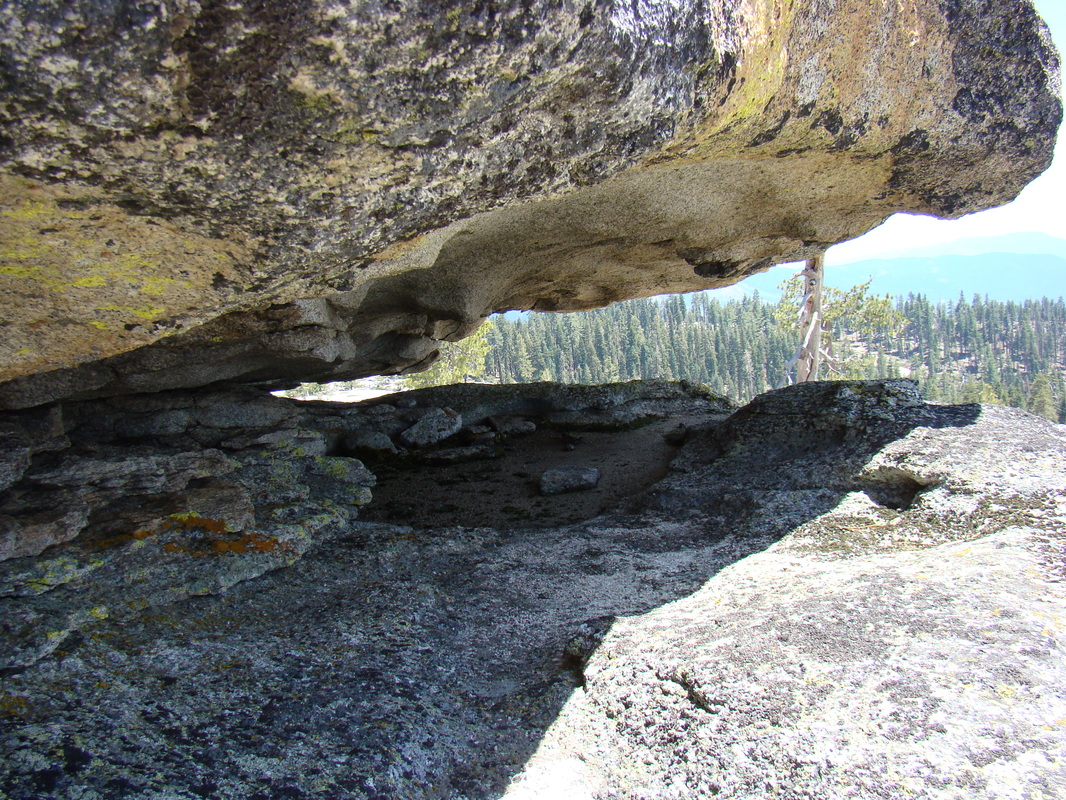 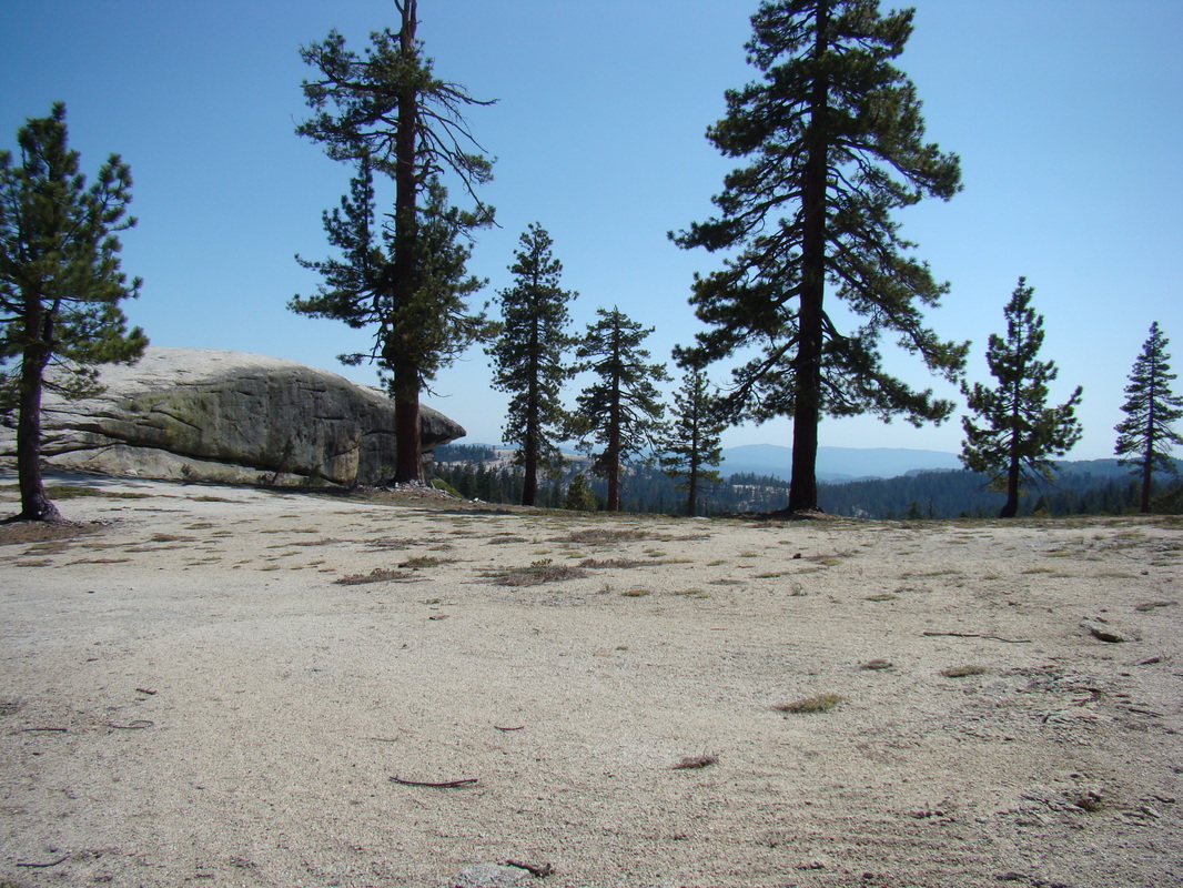 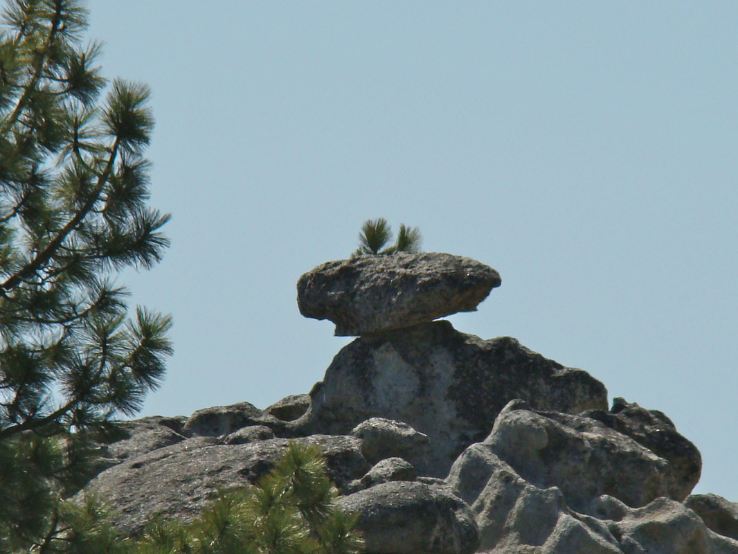 | 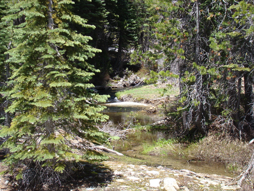 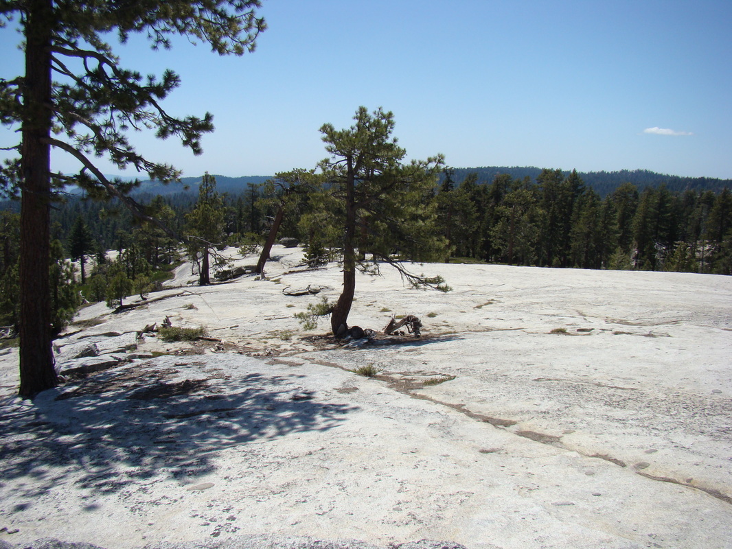 | 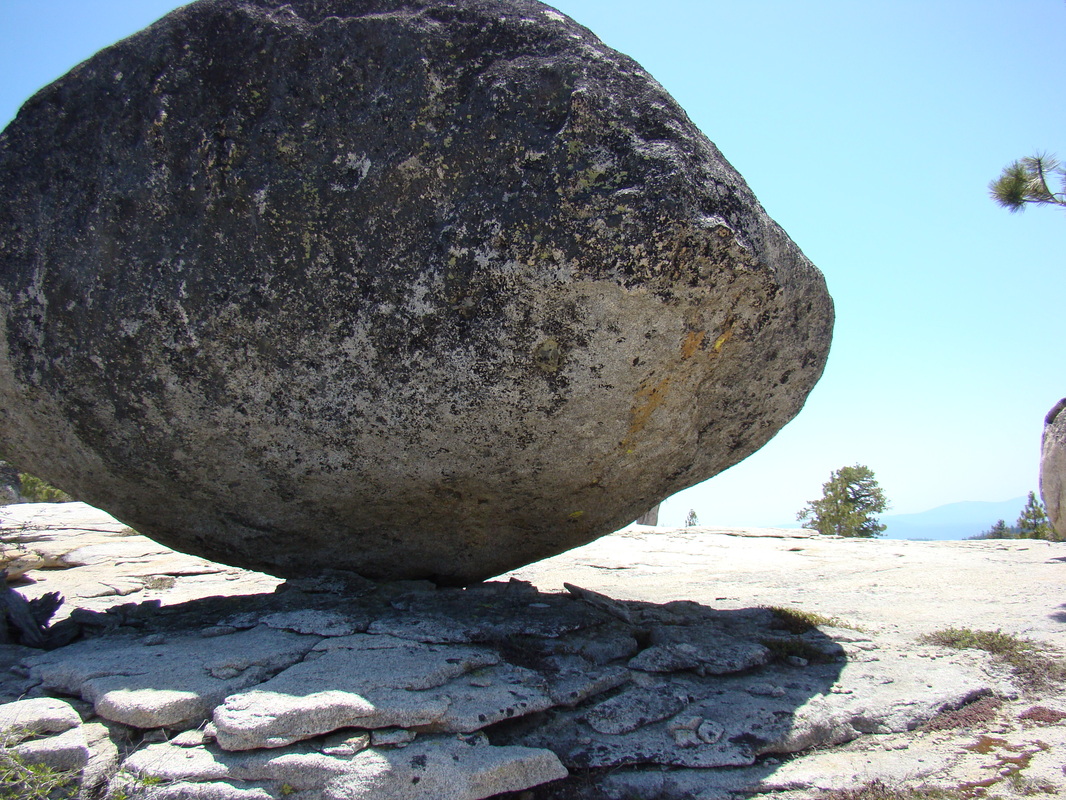 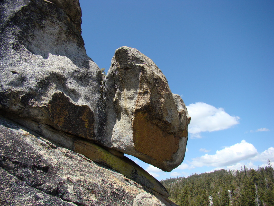  |
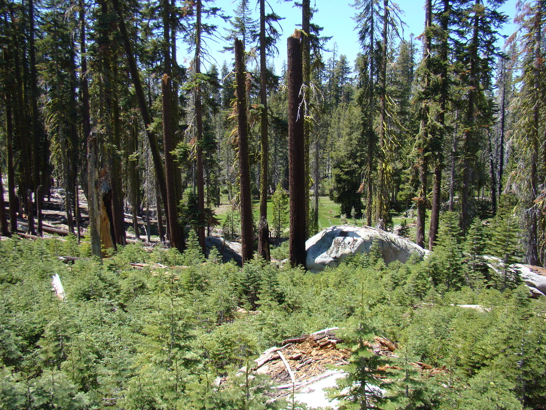
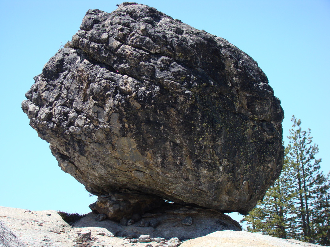
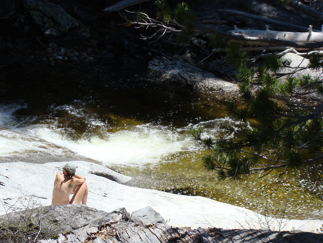
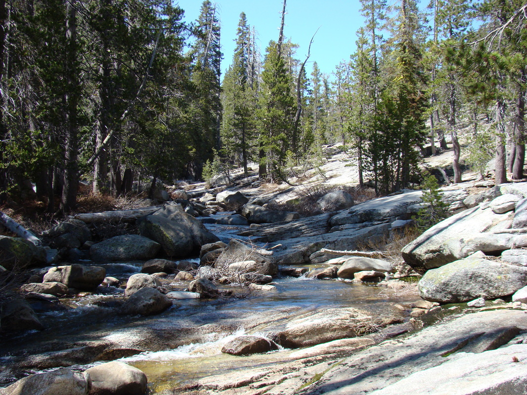
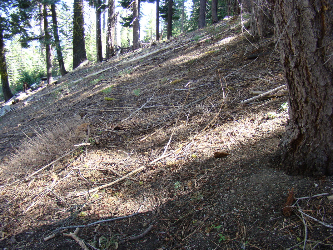
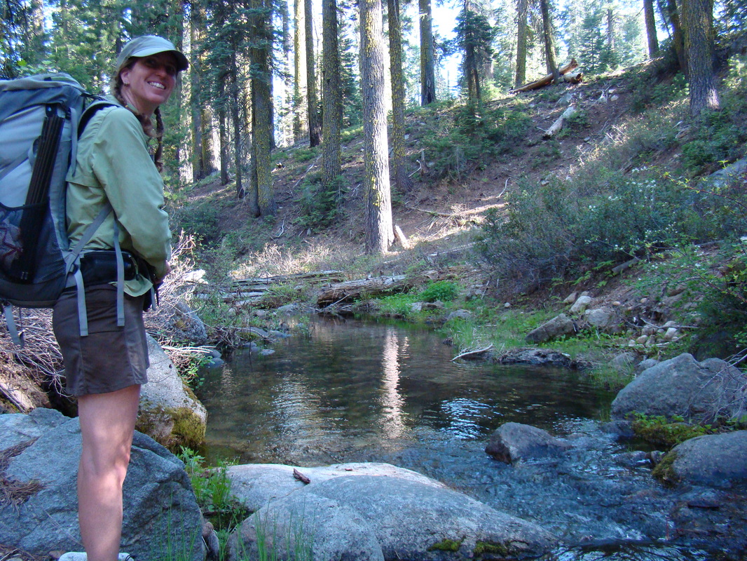
The terrain was a mix of granite and forest. We hiked through a lot of deadfall and had to skirt large patches of manzanita, gooseberry, and thorny snow brush. This area is highlighted with some very cool rock formations on hidden granite domes. Small creeks abound in this area, but we doubted that they would last long into the summer. The three larger creeks in this area—Tamarak, Balance (official name), and Cascade—looked likely to flow much longer.
 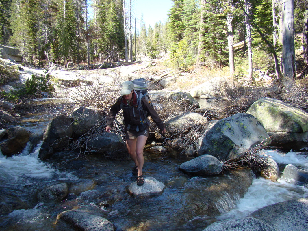  |   |  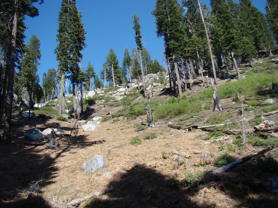  |
On this trip, we mostly followed our curiosity, sighting interesting granite domes, game trails, and the sounds of water to choose our path. We used our topo map and compass to find out where we were and, generally, what direction we wanted to go. We remained off-trail for three days until we hit the Old Big Oak Flat Road on the fourth day and followed it to the Big Oak Flat Road Trail to our exit.
-Jason
-Jason
 RSS Feed
 RSS Feed
